A new tracking app allows Maryland residents to upload photos of flooding. MyCoast Maryland was recently launched by the Maryland Department of Natural Resources with the purpose of capturing real-time data of flooding events across the state.
According to the DNR, the MyCoast app gained 400 new users during last month’s storm on January 9th which coincided with high tide.
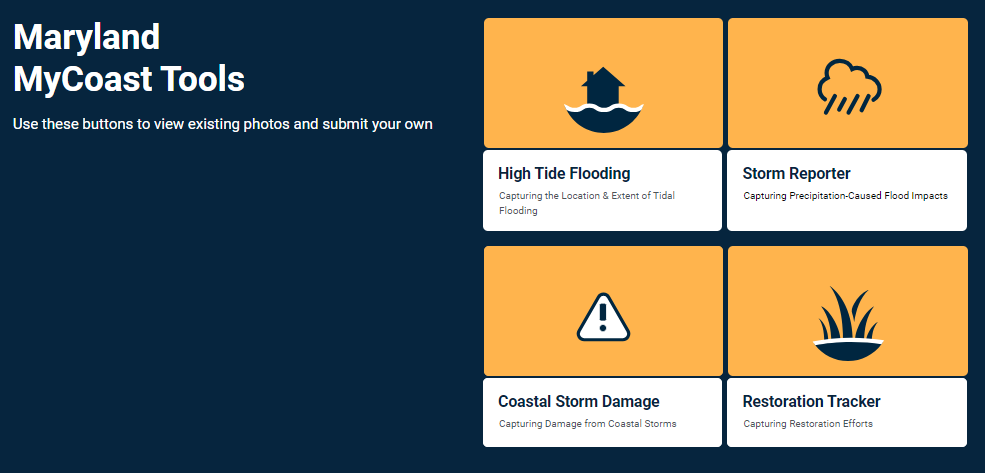
Residents can upload photos of flooding and water marks or debris lines following a storm, including details about the location, date, and time. This data will help government agencies, public works, and urban planners better understand the impacts of flooding to inform long-term mitigation plans.
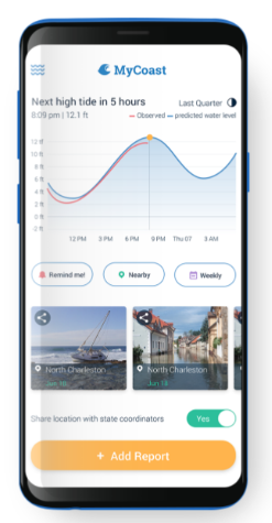
The data collected will be used in conjunction with reports to 311 and 911. All Maryland residents can participate. To upload photos of a rain event or tidal flooding, go to mycoast.org/md and create a new account. The program is also available through the MyCoast mobile app. Once a photo is uploaded, the program will retrieve background information about weather and tidal conditions linked to the photo time and location.
MyCoast Maryland. MyCoast. (2023). https://mycoast.org/md Vogel, K. (2024, January 26).
MyCoast data shows impact of January flooding. Natural Resources News. https://news.maryland.gov/dnr/2024/01/26/mycoast-data-shows-impact-of-january-flooding/